Sunday, July 31, 2011

Day 32 – Copalis Beach to Hoodsport Washington – July 31, 2011


Today’s Mileage: 88
Miles to Date: 1906

We left the Pacific Ocean and travel northeast to Hoodsport today. We will stay in this location seven days.

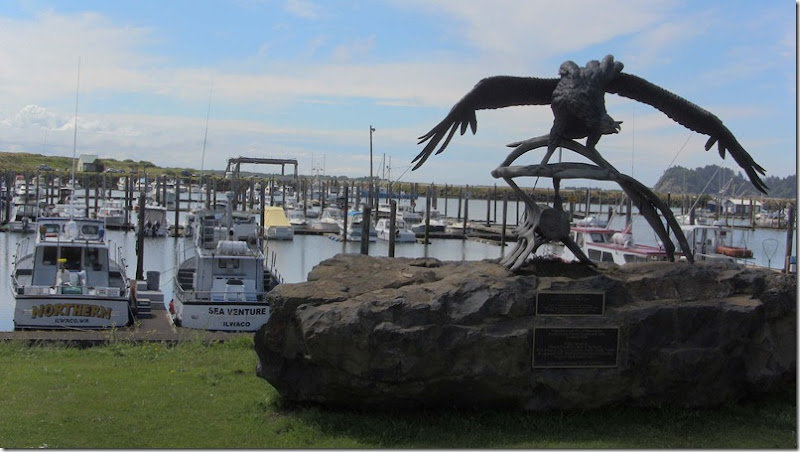
Eagles Nest to Don

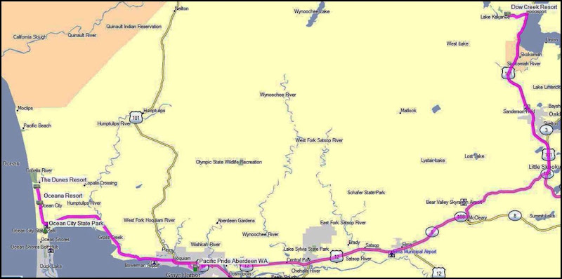
Today’s Route

Hoodsport is located along the Hood Canal, at the intersection of U.S. Route 101 and State Route 119. Lake Cushman is nearby. Hoodsport is the gateway to the Staircase area of Olympic National Park.

The first person to settle at Hoodsport was G.K. Robbins, a ship captain who had been transporting lumber along Hood Canal for years. Other settlers soon joined him, forming a small community. Most occupied themselves with farming or logging. The town was officially platted in 1890 by the Mason County Mine and Development Company, which owned manganese mines near Lake Cushman. Prospectors found evidence of copper in the area and over 400 mining claims were filed during the late 19th and early 20th centuries. Nearly all claims failed to be profitable.

The Hood Canal is long and narrow with an average width of 1.5 miles (2.4 km) and a mean depth of 177 feet (53.8 meters) . It has 212.9 miles (342.6 kilometers) of shoreline. Along its entire length, Hood Canal separates the Kitsap Peninsula from the Olympic Peninsula of Washington.

The U.S. Navy's Naval Base Kitsap, Bangor Annex, is located on the eastern shore of Hood Canal near the town of Bangor. Hood Canal has several internal bays, the largest of which is Dabob Bay. Most of Dabob Bay is a Naval Restricted Area, and is used by the submarines stationed at the Bangor Base. Quilcene Bay is an inlet extending northwest from Dabob Bay.

Hoodsport is renowned among SCUBA divers as a staging area to view the giant Pacific octopus. Local marine preserves such as Octopus Hole and Sund Rock offer divers the chance to see octopus, as well as wolf eels, rock fish, plumose anemones and other marine life.

We passed the Hoodsport Winery on the way to the RV Park. We will of course need to check it out. The huckleberry wine that we purchased earlier turned was very good. It was a sweet wine that served as a good after dinner, desert wine.

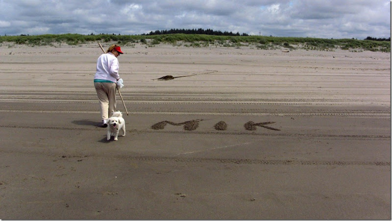
We also passed several beaches so Mik will have another beach or two explore.

IMG_0298

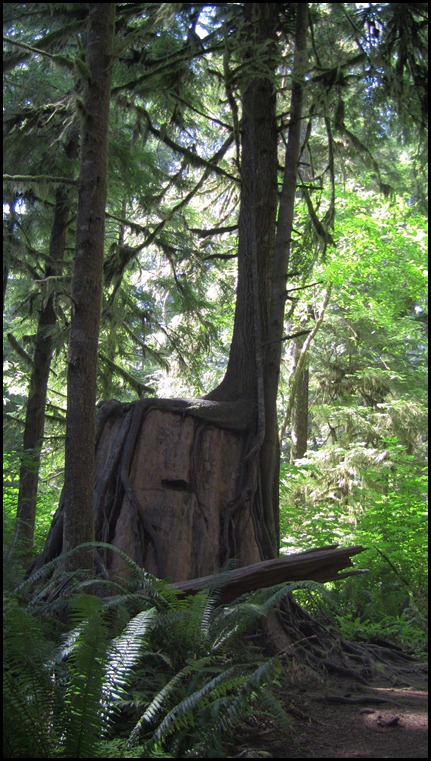
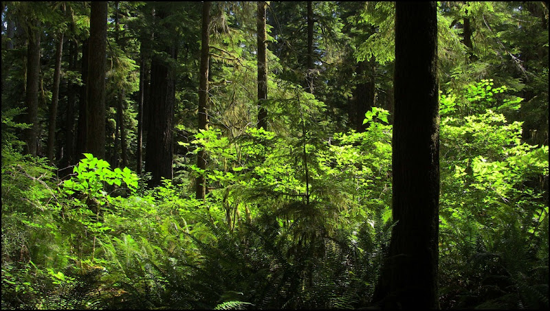
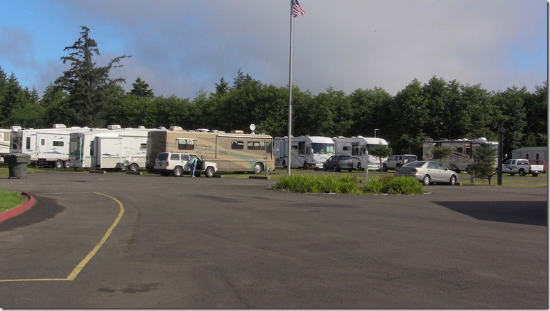
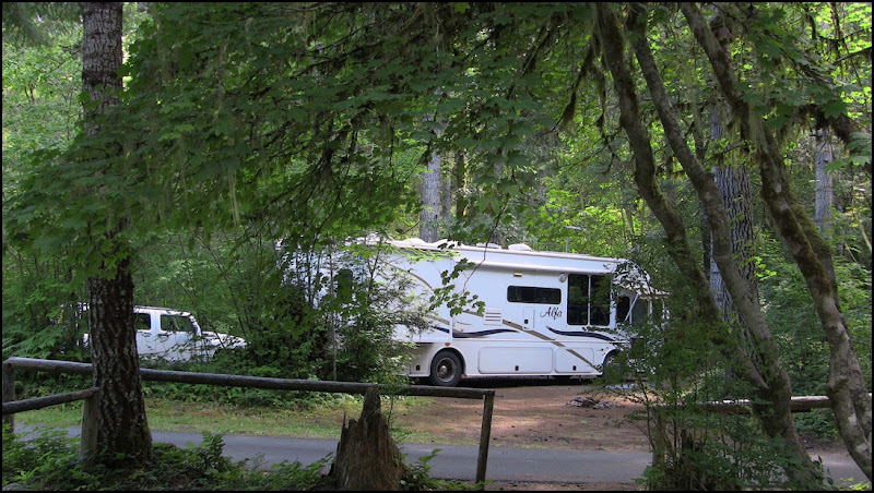
As you can see our new home is deep in the forest. Even through the sun is shining, we also need to turn the lights on inside the coach as it is fairly dark in the coach.
Saturday, July 30, 2011

Day 31–Copalis Beach–July 30, 2011


This is our last day on the coast, tomorrow we will head more inland and north to Hoodsport Washington. We took a short drive back to Ocean Shores to pickup some seafood for tonight’s dinner. I will have crab and Raija decided on clam chowder.

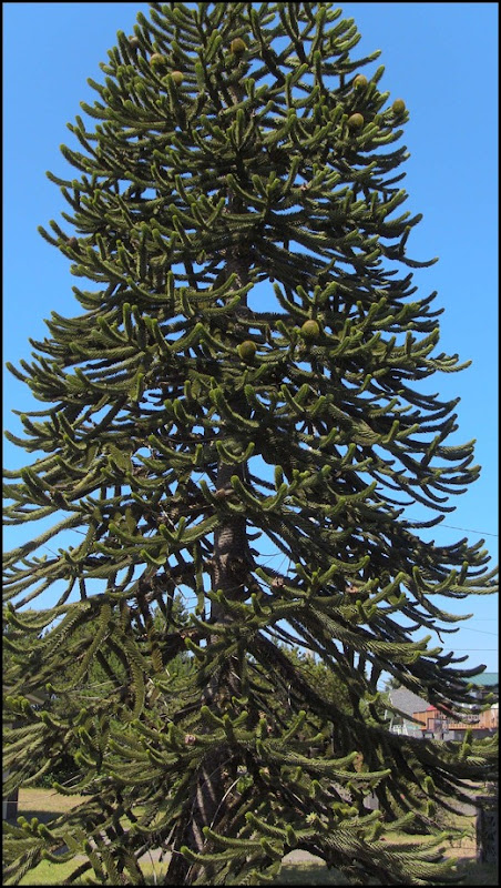
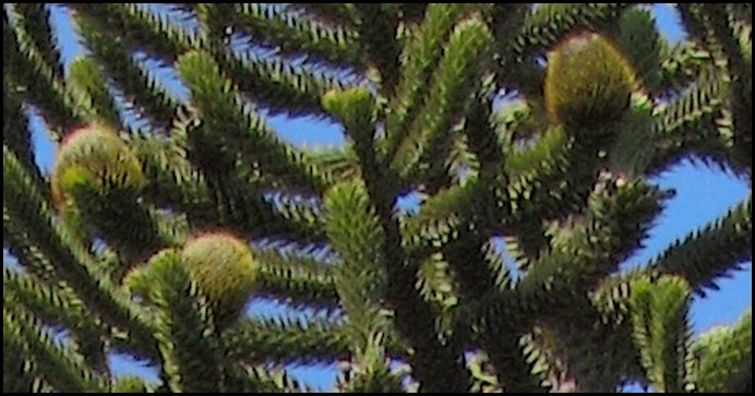
There is a strange tree growing on the property adjacent to the RV Park. Raija suggested that I post it to see if anyone could provide the correct name.

IMG_0297


Tree Fruit


Can you identify this tree?

Friday, July 29, 2011

Day 30–Copalis Beach WA–July 29, 2011


Today was just a quiet, restful day at the Dunes Resort RV Park. The sun came out after the morning fog burned off and the temperature made it to 70°  F.

I took Mik for a run on the beach in the afternoon. He is getting a little braver about the water. He waded in a creek that was flowing on the beach. He still didn’t want anything to do with ocean even through the waves were very small.

Day 29 – Olympic Rain Forest Washington – July 28, 2011


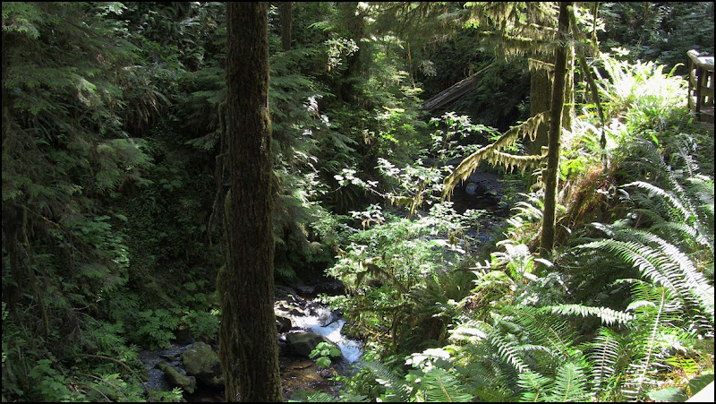
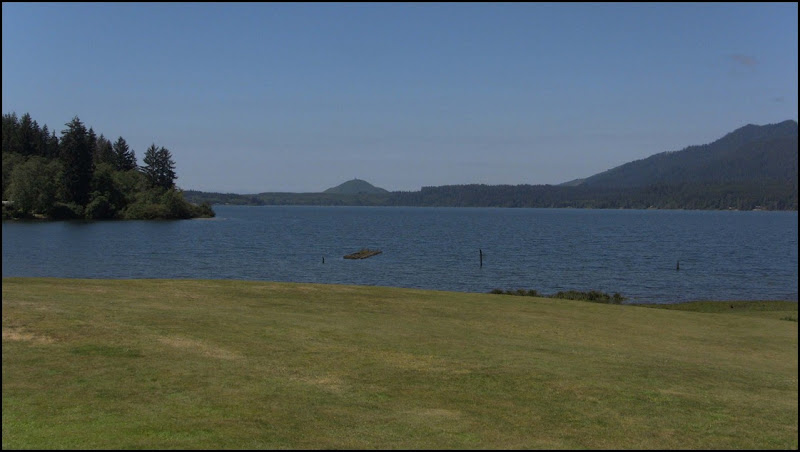
We spent the day driving and several small hikes in the Olympic Rain located in western Washington State. We drove the 31 mile loop around Quinault Lake. The lake is in glacial-carved Quinault Valley of the Quinault River. Lake Quinault is owned by the Quinault Indian Nation. Annual precipitation ranges from 141 to 165 inches (360 to 420 cm). Summers are relatively dry, but only by comparison to the rest of the year.

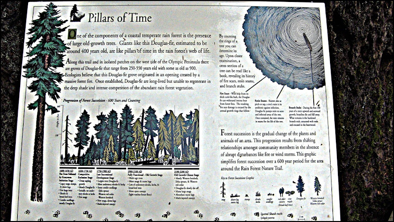
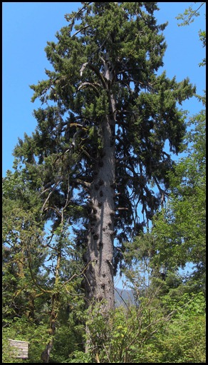
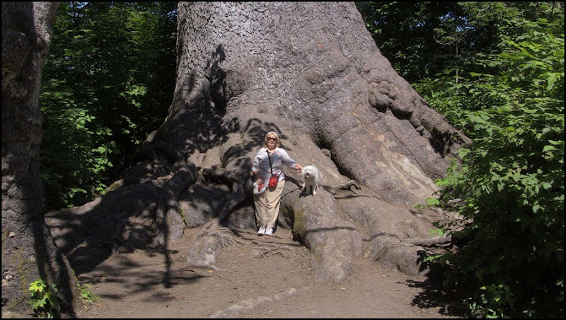
The dominant species in the rainforest are Sitka Spruce, Douglas-Fir, Western Red Cedar and Western Hemlock some of which grow to tremendous size, reaching 312 feet (95 meters) in height and 23 feet (7 meters) in diameter.

IMG_0283

IMG_0284

IMG_0286

Nurse Stump

IMG_0288

IMG_0289

Lake Quinault

IMG_0290

IMG_0292 

World’s Largest Sitka Spruce

IMG_0294

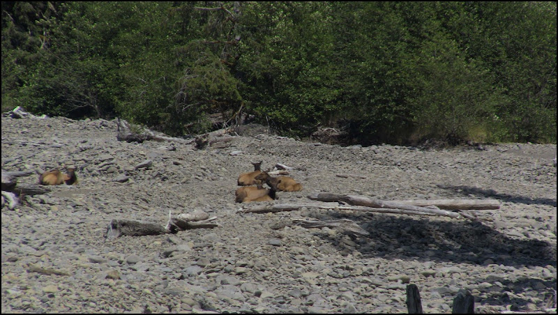
Elk bedded down in Willaby Creek

Olympic Rain Forest Video

Wednesday, July 27, 2011

Day 28 – Ocean Shores Washington – July 27, 2011


A short ride back down the coast took us to the town of Ocean Shores. There is an IGA Grocery store in Ocean Shores which is the closest grocery store of any size to where we are staying.

In route we stopped at two Washington State Parks. I have to say that Washington is ripping off both their own citizens and the tourist with their new $10 a day or $30 annual passes required to visit a state park. Several of the parks that we have stopped at only have a picnic table or two and a bathroom. One must have a park pass to see nothing at these parks. Who wants to spend $10 for a park that has nothing to offer? Also the state parks with RV facilities are more expensive then the private parks that offer more amenities plus you still have to add park pass fee that make it even more outrageous. I foresee a big decline in park visitors.

We scouted out the town of Ocean Shores, found the grocery store and an ice cream store. Mik needed some ice cream so we stopped and treated ourselves to raspberry cheesecake ice cream and vanilla for Mik.

After that it was time for a ride on the beach before going grocery shopping. I figured that I had better do a video of a Washington beach before we lose the sun.

Ocean Shores Beach Video

Day 27– Copalis Beach Washington - July 26, 2011


The car / camper club left in the morning. Last evening they aligned their cars and trailers as if they would be ready for an early morning, quick departure but it took them until around 10:00 AM to depart. The engine start signal was one of the ladies waving her bra on a pole.

There was more entertainment after lunch. Two large fifth wheel rigs arrived and one of them had a very difficult time positioning his rig in the space beside us. It took nearly two hours for them to get set up. Just when it look like they were all set, they decided that they didn’t like it here and left. That was good news to us as they had crowded us in with very little space between our coach and their rig.
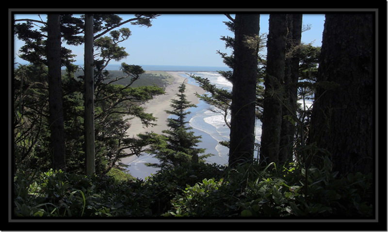
The sun finally came out and no rain. The high was around 62 F and the low 48 F.

Mik really enjoys running loose on the beach and checking out all of the smells. I tried to coach him down to the water but every time a wave heads in, he goes running to higher ground and even scowls me when I get to close too the water.

Monday, July 25, 2011

Day 26 – Copalis Beach Washington – July 25, 2011


This morning we woke up to the sound of rain and 53 F. The rain turned to a drizzle and hung around to about noon. There has been some sun this afternoon and the forecast is for better weather later in the week.

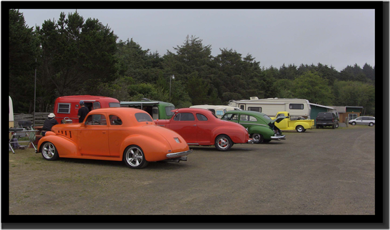
There is a small group of people staying at the RV Park whose hobby is the rebuilding of late 30’s / early 40’s cars and a camper from the 70’s. The cars are not restored originals as most of the inwards are Ford parts whereas the bodies are Plymouths, Dodges and other makes. The group is from British Columbia.

clip_image002

The campers and cars are painted as a match set.

In the afternoon, we took a short ride to the beach communities to the north on Washington Route 109. The communities are small and sparsely populated. Most have seen better days.

This section of Washington is somewhat like Alaska, no TV, poor cell phone service but good Wi-Fi. While we are here, we will be relying on the internet for news.

Sunday, July 24, 2011

Day 25 – Ilwaco Washington to Copalis Beach Washington July 24, 2011


Today’s Mileage: 95
Mileage to Date: 1818

clip_image002

We were back on the road today for a short drive up the coast on Highway 101 to Copalis Beach. The drive was scenic along the coast but a little slow as the road has many sharp curves.
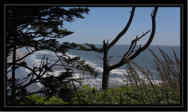
Copalis and Copalis Beach are named after the Indian tribe Copalis. The Copalis belonged to the coastal division of the Salishan language family that occupied the area of Copalis River.

The Copalis area is known as the "Home of the razor clam." The community sits near the northern end of probably the greatest razor clam bed in the world. During the commercial season, Copalis' normal population of about 350 persons increases fourfold.

The clam is not Copalis' only drawing card. The beach is ideal for bathers, and motorists can drive their cars along miles of hard packed sand. Before the highway came, all supplies were shipped by boat to Oyehut and hauled to Copalis using the beach as a road.

Saturday, July 23, 2011

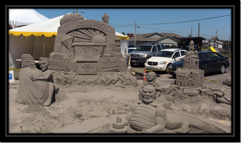
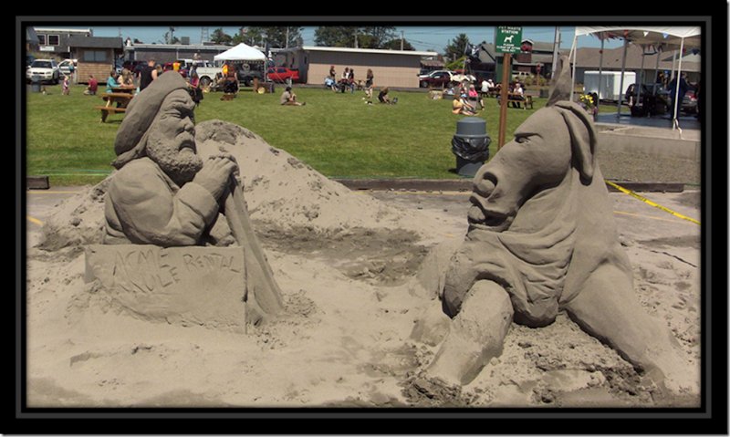
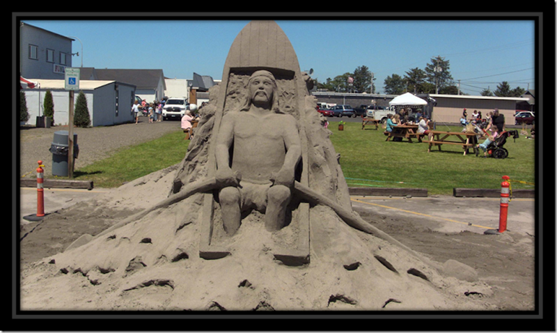
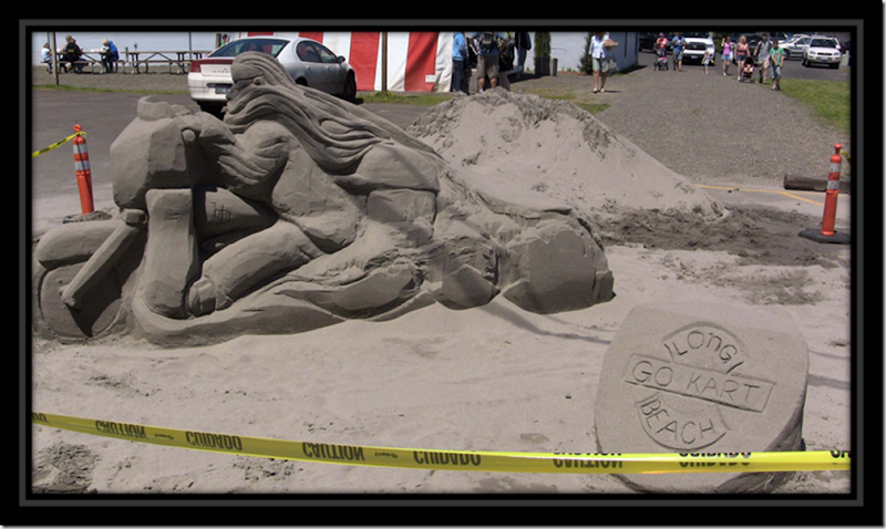
Day 24 – 27th Annual Long Beach Sand Sculpture Context July 23, 2011


Today is our last day in the Ilwaco Washington area. The morning was spent at the Ilwaco Saturday market where Raija stock up on fruits and vegetables. Lunch at the market was smoked salmon chowder and desert was huckleberry ice cream.

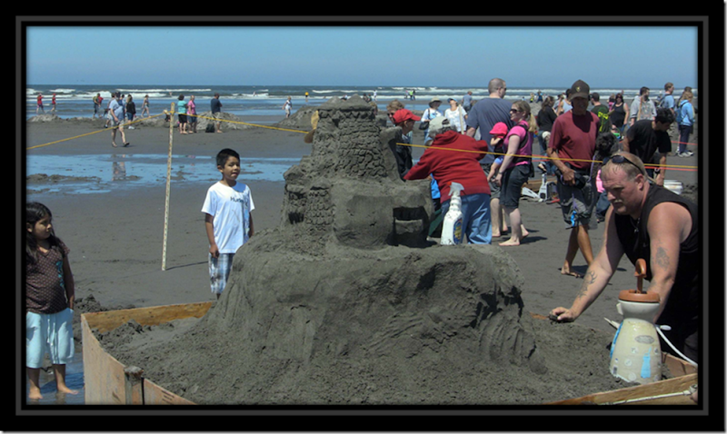
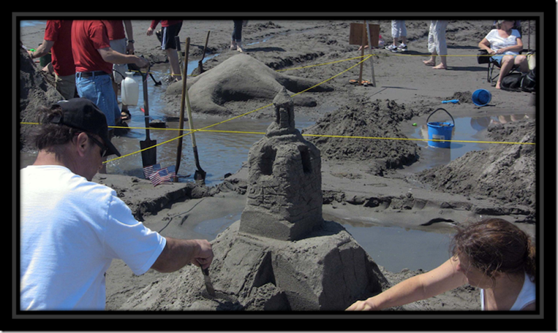
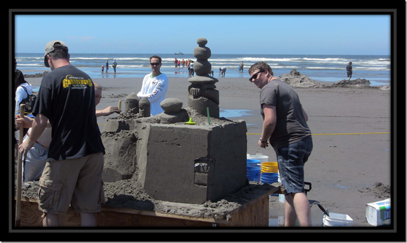
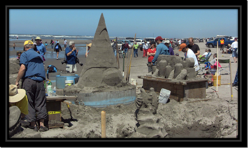
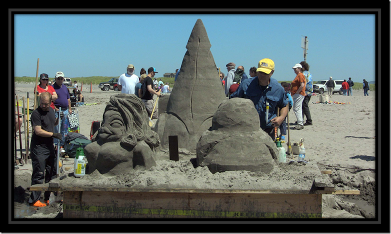
The afternoon saw us back at Long Beach for their 27th annual sand sculpture contest. Entire families / groups were busy working on their sculptures. The Kiwanis Club provided free hot dogs. The annual event is a weekend event with a variety of activities for the whole family including family pets.

clip_image002

Sculptures in progress

clip_image004

clip_image006

clip_image008

clip_image010

clip_image012

Completed Sculptures

clip_image014

clip_image016

clip_image018

clip_image020


Sculpture Work in Progress Video

Friday, July 22, 2011

Day 23 – Cape Disappointment – July 22, 2011


There seems to be some confusion on just how Cape Disappointment received its name. One version is the cape was named by British fur trader John Meares who was sailing south from Nootka in search of trade. After a storm, he turned his ship around just north of the Cape and therefore just missed the discovery of the Columbia River. Alternatively, the cape may have been named by a member of the Lewis & Clark Expedition, after have succeeded in reaching the Pacific, found no ships in the vicinity.

At any rate since most of Cape Disappointment is now a Washington State Park and we spent the $30 for the an annual state park pass, we explored some of the Cape’s highlights’ today.

clip_image002

clip_image004

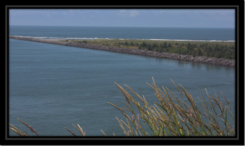
One of the jetties built to control Columbia’s Bar

clip_image006
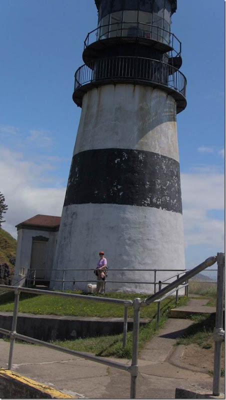
Cape Disappointment Lighthouse

clip_image008
clip_image010
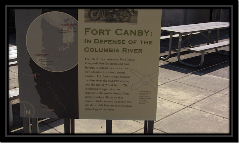
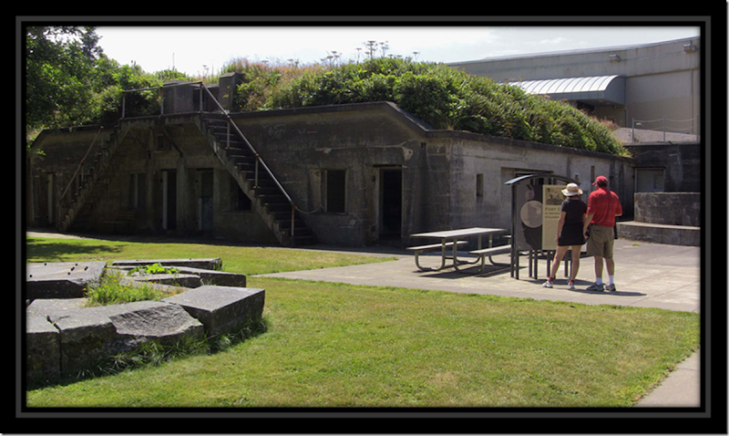
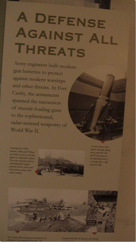
Fort Canby

clip_image012

clip_image014

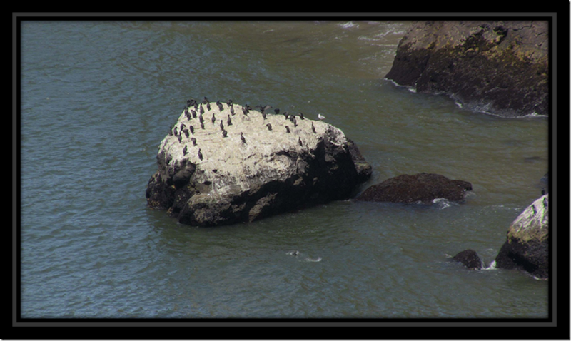
Cormorants

clip_image016
North Head Lighthouse

clip_image018
Columbia River Jetties

clip_image020
Benson Beach

clip_image022
Along the trail to North Head Lighthouse

Cape Disappointment Video

Thursday, July 21, 2011

Day 22–Camp Day at Ilwaco OR–July 22, 2011


An easy blog day as we mostly spent the day at the RV Park expect for a quick ride to Ilwaco to see their Heritage Museum. Thursdays is free admission.

I did for to mention that yesterday we did see a little of the sun. Today is another overcast day with on and off drizzles. It did manage to get up to 60 F today. The nights are still in the lower 50s F.

Day 21 – Astoria and Cannon Beach – July 20, 2011


We did a little back tracking today to tale in the sights of Astoria and Cannon Beach Oregon. As it turns out, Astoria was home to many Finns and even has a Finnish District. Many of the businesses bear Finnish names.clip_image002

Our first stop was the Astoria Column that sits high on Coxcomb Hill where one can have a panoramic view of Astoria and the Columbia River.

The markers were the pet project of Ralph Budd, president of the Midwest based Great Northern Railroad.

The Astoria Column was the last of twelve built in the early 1900s between St. Paul, Minnesota and Astoria, Oregon. Ralph wanted to properly salute America’s early explorers and settlers.


Town of Astoria and Columbia River as seen from the top of the Astoria Column


IMG_0244
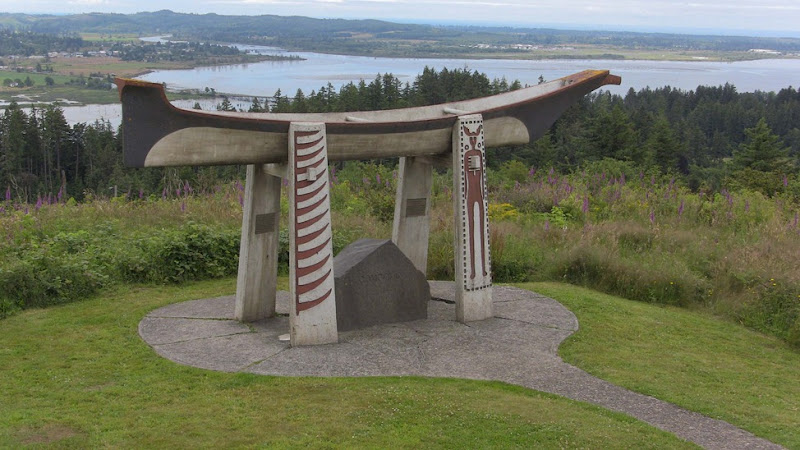
Indian Burial Canoe


We also visited the Columbia River Maritime Museum. No pictures were allowed in the museum.

IMG_0247
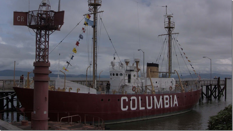
Retired Columbia River Lighthouse Ship

Our next stop was Cannon Beach. Cannon Beach was originally named Ecola, after the creek that empties into the Pacific Ocean to the north of the city. In 1922, it was renamed Cannon Beach at the insistence of the Post Office Department as the name was frequently confused with Eola. Cannon Beach is the beach adjacent to the town. The beach received its name after a cannon washed ashore from one of the many ship wrecks in the area.

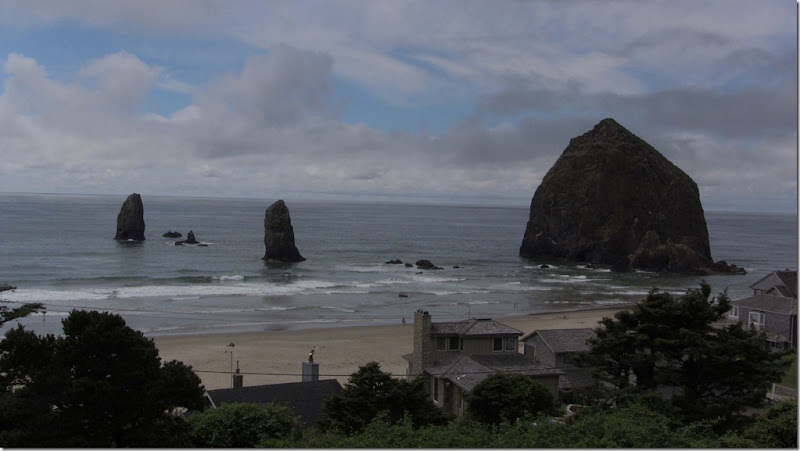
Cannon Beach is its well-known landmark, Haystack Rock, located southwest of downtown Cannon Beach. This igneous rock has a height of 235 feet. Near Haystack Rock are the Needles, two tall rocks rising straight out of the water.

IMG_0249
Haystack Rock and the Needles at Cannon Beach

Wednesday, July 20, 2011

Day 20 – Long Beach Washington - July 19, 2011


Long Beach began when Henry Harrison Tinker bought a land claim from Charles E. Reed in 1880. He platted the town and called it "Tinkerville." Long Beach was officially incorporated on January 18, 1922. From 1889 to 1930, a narrow gauge railroad called the Ilwaco Railway and Navigation Company ran up the whole peninsula. A resort village from the start, Long Beach enjoyed summertime travelers on the narrow gauge “Clamshell Railroad” that ran up the length of the peninsula from 1889 to 1930.

For 41 years narrow-gauge railroad made thousands of journeys from one end of this peninsula to the other.  The passengers were local residents going to “town” to shop, summer visitors coming to enjoy a vacation by the sea, and even students traveling to high school in Ilwaco.  Freight hauling was important too, and the bounty of farm, forest, beach and bay started its trip to distant markets on the little railroad.

Like many other small railroads across the country, the Clamshell Railroad struggled to survive as automobiles and trucking lines became more dominant forms of transportation.  The old tracks were pulled up and sold long ago but train buffs, history fans and curious visitors all enjoy retracing the route of the vintage train and recapturing a little piece of our past.

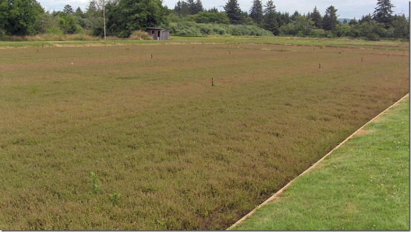
The Peninsula is also known for its cranberry industry. Cranberry farming in the SW corner of Washington State has a more than 100-year history.

IMG_0224
Cranberry Bog

IMG_0232

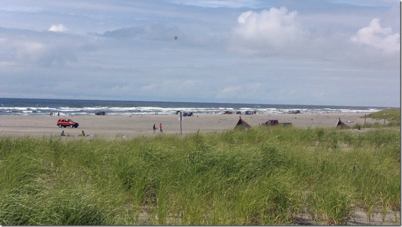
Driving on the beaches of the Peninsula is a tradition dating back to the early days of the automobile. For years, beachgoers have enjoyed a leisurely drive on the wide, hard-packed sands.


Long Beach Washington

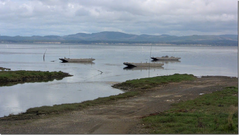
North of Long Beach, in the mid-1800s, the village of Oysterville began to prosper after Chief Nahcati introduced the town’s founders, R.H. Espy and I.A. Clark, to oysters. The rich oyster beds of Willapa Bay were soon responsible for Oysterville’s growing riches, as the town became a major competitor with other oyster companies.

IMG_0229
Oyster Beds

IMG_0228Oysterville

IMG_0230

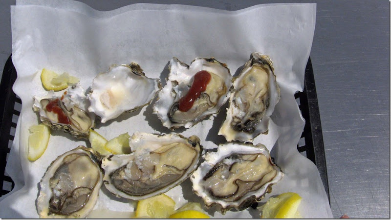
We stopped for lunch in Oysterville, Raija had clam chowder and I had oysters on the half shell.

IMG_0226
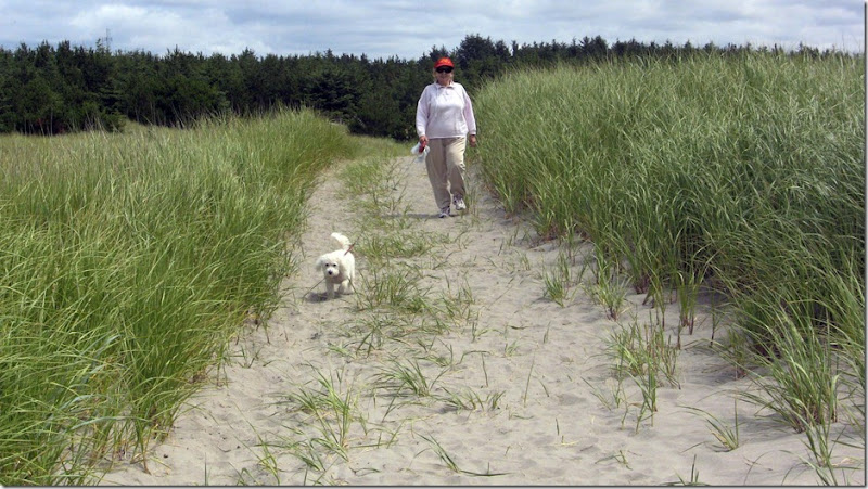
To the Beach

IMG_0227

Tuesday, July 19, 2011

Day 19 – Ilwaco Washington – Where the Columbia River Meets the Pacific – July 18, 2011


This morning we had a break in the rain so I was able to take some pictures of where we are staying.

IMG_0201Eagles Nest Resort upper deck

Eagles Nest Resort Video

Mid-morning we explored downtown Ilwaco and Ilwaco Harbor.

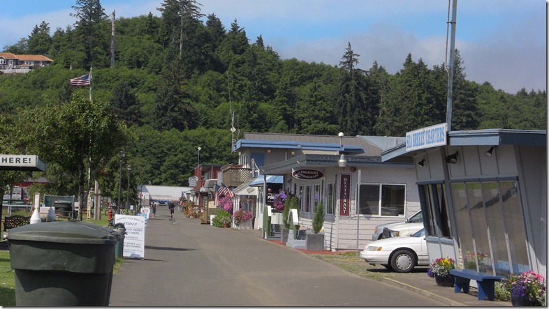
IMG_0202Harbor Front Shops

IMG_0203
Harbor

The harbor is filled mostly with pleasure, privately owned boats and tourist fishing boats.

IMG_0204

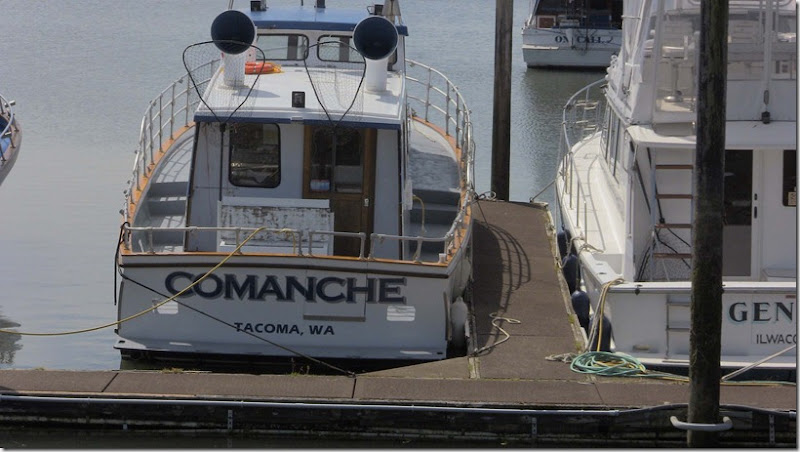
A Comanche without wings

We had lunch at one of the local eateries on the boardwalk. Raija had halibut fish and chips and I had deep fried oysters. The oysters were some of the largest that I have had in a long time. It looks as if we will have ample chance to partake of seafood during our stay on the coast.

Ilwaco Harbor

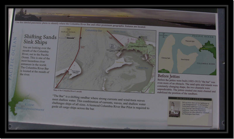
After lunch we took a ride to Cape Disappointment and the mouth of the Columbia River. The first thing that we discovered is that Washington State Parks now we require a $10 day pass or a $30 annual pass. One cannot even take a picture or view an overlook without a pass. As we will be in Washington State several more weeks, we opted for the annual pass.

Sailing ships had a terrible time getting into the Columbia, since the two natural channels through the broad, sediment-choked river mouth, particularly the North Channel, forced ships to turn sideways to the wind and waves. Some 2,000 vessels of all types and about 700 lives have been claimed by the treacherous waters off the Peninsula over the past 300 years.

Some of the early shipwrecks are:

1792 Chatham British tender
1798 Small boat from the Hazard American brigantine, 5 lost
1811 Small boat from the Tonquin American ship, 10 lost
1813 Raccoon British sloop of war
1829 William and Ann British barkentine, 26 lost
1830 Isabella Hudson Bay Co., British supply brigantine
1839 H.M.S. Sulpher British Royal Navy ship
1841 U.S.S. Peacock U.S. Navy ship
1846 U.S.S. Shark U.S. Navy survey schooner, crew lost
1848 Maine American whaler
1848 Vancouver British barkentine
1849 Josephine British brigantine

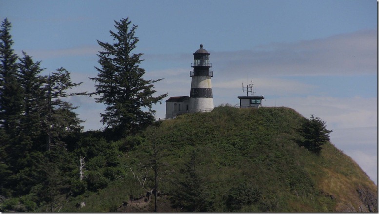
Lighthouses Cape Disappointment, built in 1856, and North Head, 1898, drastically improved the safety of mariners near the mouth of the Columbia River. These two lights significantly reduced the number of vessels and human lives lost in the waters of the Pacific. This area is often referred as the Graveyard of the Pacific.

IMG_0218
Cape Disappointment Light House


Waikiki Beach

Waikiki Beach is one of the few beaches in the area where it is safe to swim as the other beaches have strong undertow currents.

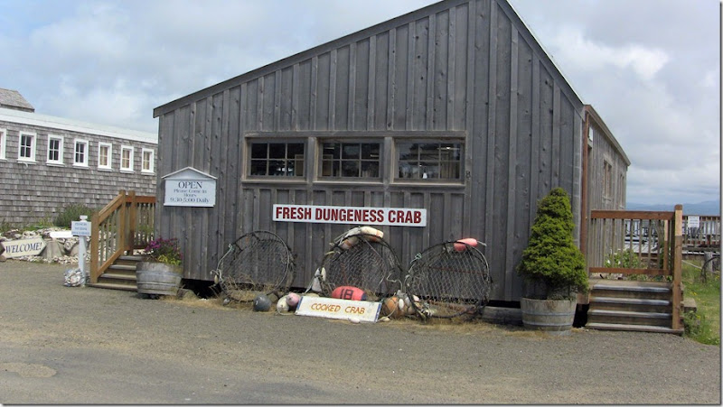
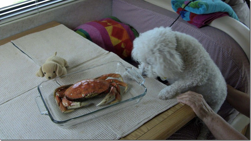
On the way home, we stopped at a seafood shack and purchased a crab for my dinner.

IMG_0222
Mik checking out dinner